_-_Geographicus_-_AsiaeNovaDescriptio-ortelius-1570.jpg)
1572: Peta Asia buatan Abraham
Ortelius. (sumber
foto)
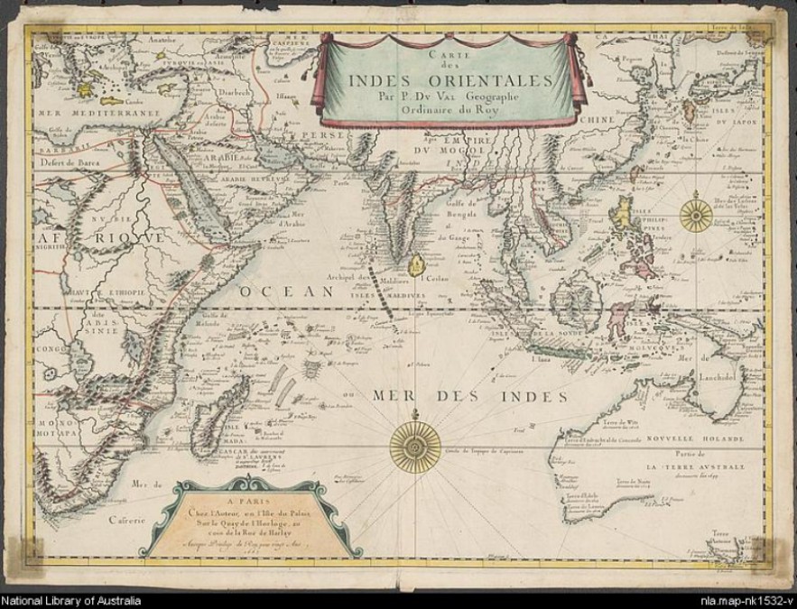
1665: Peta East Indies buatan Pierre Du Val. (sumber
foto)
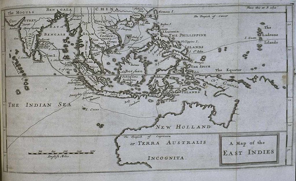
Peta East Indies, dari buku New Voyage Round the
World, karangan William Dampier, terbit 1697. (sumber
foto)
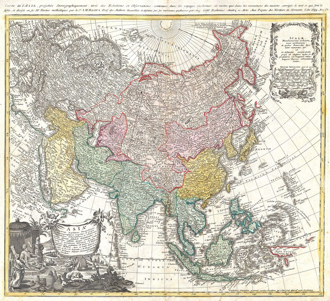
1744: Peta (proyeksi stereografi) Asia buatan Johann
Matthias Hase. (sumber
foto)
_-_Geographicus_-_EastIndies-bonne-1780.jpg)
1771: Peta dekoratif East Indies oleh Rigobert
Bonne. (sumber
foto)
_-_Geographicus_-_Moluques-bonne-1780.jpg)
1780: Peta East Indies oleh Rigobert
Bonne. (sumber
foto)
_-_Geographicus_-_EasternHemisphere-cary-1801.jpg)
1801: Peta Belahan Bumi Timur buatan John
Cary. (sumber
foto)
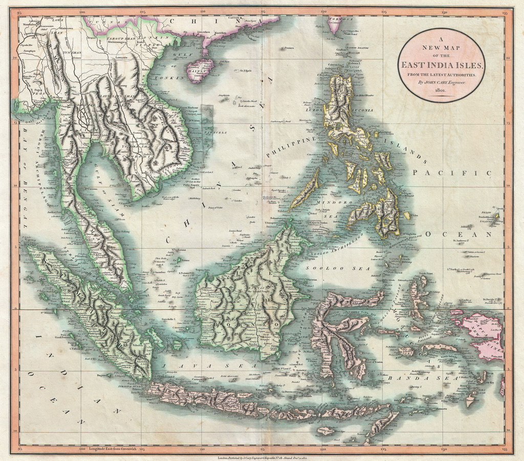
1801: Peta East Indies buatan John
Cary. (sumber
foto)
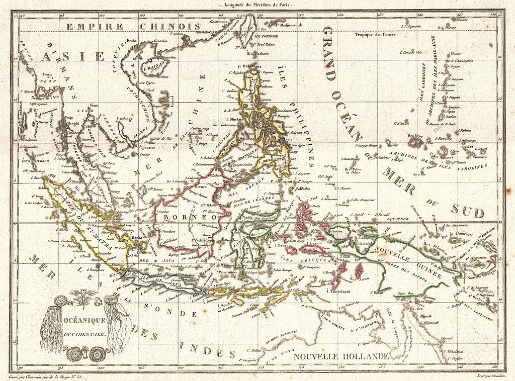
1810: Peta East Indies buatan Ambrose Tardieu dari Perancis.
(sumber
foto)
_-_Geographicus_-_AsiaeNovaDescriptio-ortelius-1570.jpg)
_-_Geographicus_-_EastIndies-bonne-1780.jpg)
_-_Geographicus_-_Moluques-bonne-1780.jpg)
_-_Geographicus_-_EasternHemisphere-cary-1801.jpg)